

Published 09/19/2019- updated 09/25/2026
On May 18, 1980, at 8:32 a.m., Mount St. Helens erupted catastrophically. A magnitude 5.1 earthquake accompanied the collapse of the volcano’s northern flank, producing the largest debris avalanche in recorded history. The avalanche traveled as far as 14 miles down the North Fork Toutle River valley and deposited an enormous volume of rock and volcanic debris across the landscape.¹ USGS
What happened afterward became a remarkable real-world demonstration of rapid geological change.
MASSIVE LANDSCAPE CHANGE OCCURRED ALMOST IMMEDIATELY
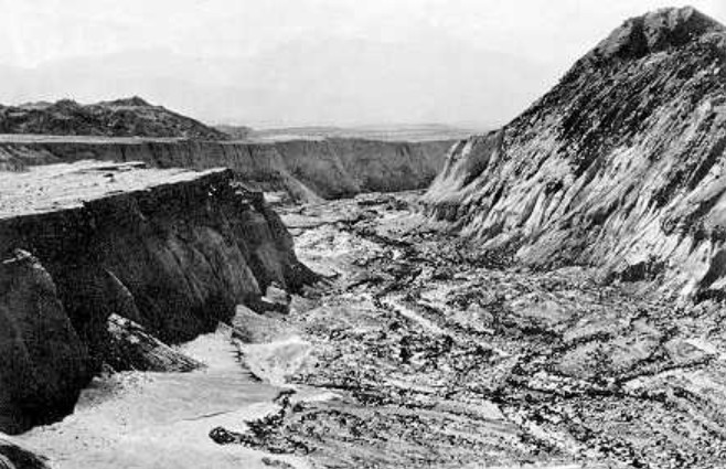
The eruption, landslide, pyroclastic flows, lahars, and subsequent runoff dramatically reshaped the surrounding terrain. Lahars affected nearly 135 miles of river channels around Mount St. Helens on May 18 alone. Powerful mixtures of water, mud, rock, and volcanic debris eroded existing channels while transporting tremendous quantities of sediment downstream.¹ USGS
The eruption deposited approximately 3 cubic kilometers of sediment across the surrounding landscape, most of it associated with the enormous debris avalanche. Rainfall, snowmelt, streams, and subsequent volcanic activity then began cutting channels through these fresh deposits.² USGS Publications
DEEP CHANNELS DEVELOPED RAPIDLY
USGS researchers studying Mount St. Helens found that new stream channels developed rapidly through the debris-avalanche deposits. During the first year following the eruption, steep upstream channels underwent substantial incision and widening. Researchers described sediment yields from these developing channels as among the largest ever documented.³ USGS Subsequent erosion by streams such as Step Creek and Loowit Creek produced deeply incised exposures through volcanic deposits on the mountain’s northern flank. The USGS geological mapping of this region specifically documents the rapid erosion and incision that followed the 1980 eruption.⁴ USGS Publications
The resulting terrain included steep-sided channels and canyon-like formations extending for considerable distances. Some have informally been compared with much larger canyon landscapes because of their striking appearance.
HUGE AMOUNTS OF SEDIMENT MOVED IN HOURS AND DAYS
The rate at which sediment was both deposited and removed was equally impressive. On May 18, volcanic mudflows sent billions of cubic yards of mud, ash, rock fragments, and debris into surrounding river systems. In portions of the Columbia and lower Cowlitz Rivers alone, approximately 35.6 million cubic yards of mudflow material were deposited. At one location near Coffin Rock, a 140-foot-deep depression received approximately 90 feet of sediment.⁵ USGS Publications
This was not theoretical reconstruction occurring millions of years in the past. Scientists were there to measure the aftermath.
GEOLOGICAL CHANGE DOES NOT ALWAYS REQUIRE LONG AGES
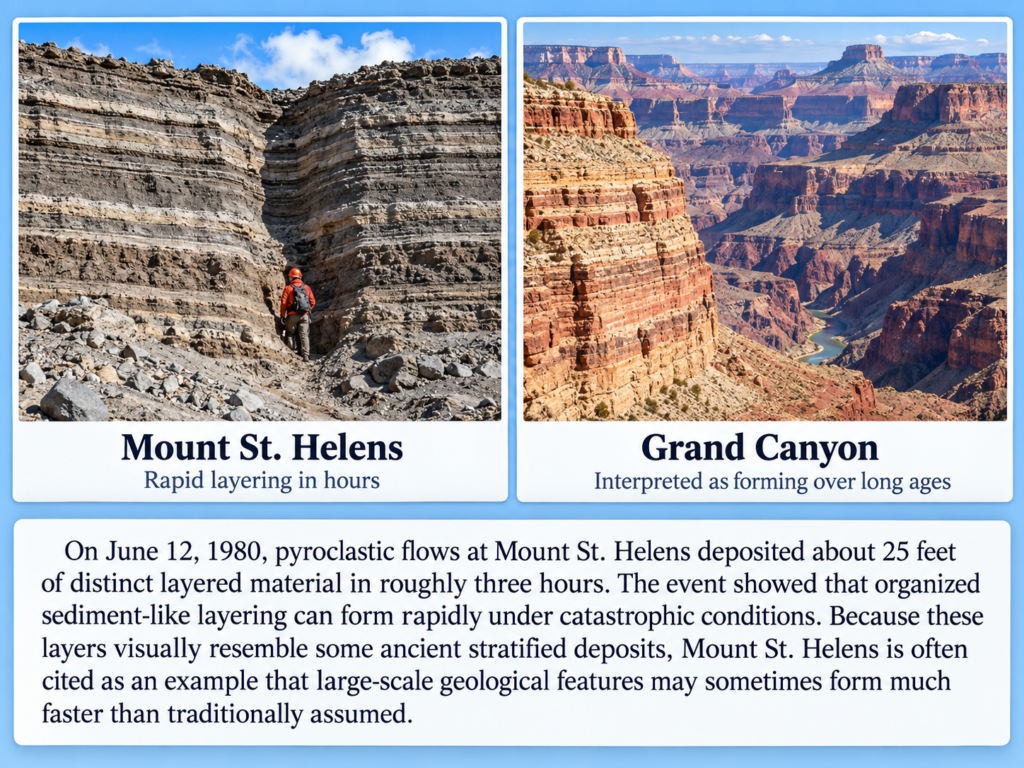
Mount St. Helens offers an important caution when interpreting geological formations solely by size. A canyon may be large, a sediment deposit may be thick, and a landscape may be deeply eroded, but size alone does not tell us how long the process took. Under ordinary conditions, erosion may proceed slowly. Under catastrophic conditions involving enormous quantities of water, unstable sediment, steep gradients, volcanic activity, and rapidly changing drainage patterns, geological change can occur at astonishing rates. Mount St. Helens gave scientists the opportunity to watch those processes unfold in real time. The lesson is not that every canyon on Earth formed rapidly or that Mount St. Helens is identical to the Grand Canyon. Rather, it demonstrates something important about geological interpretation:
Processes that can produce substantial sediment deposits, deep channels, and dramatically altered landscapes can operate on timescales of hours, days, months, and years rather than necessarily requiring thousands or millions of years.
Consider these data and observations whenever you reconstruct the history of an ancient landscape we did not observe forming.
Sources
- U.S. Geological Survey, 1980 Cataclysmic Eruption, Mount St. Helens. USGS Mount St. Helens eruption history
- John E. Costa, USGS, Evolution of Sediment Yield from Mount St. Helens, Washington, 1980–1993. USGS sediment study
- USGS, Rates and Processes of Channel Development and Recovery Following the 1980 Eruption of Mount St. Helens. USGS channel-development study
- Brian P. Hausback, USGS, Geologic Map of the Sasquatch Steps Area, North Flank of Mount St. Helens. USGS geological map and study
- F. P. Haeni, USGS, Sediment Deposition in the Columbia and Lower Cowlitz Rivers Caused by the May 18, 1980 Eruption. USGS sediment-deposition study
