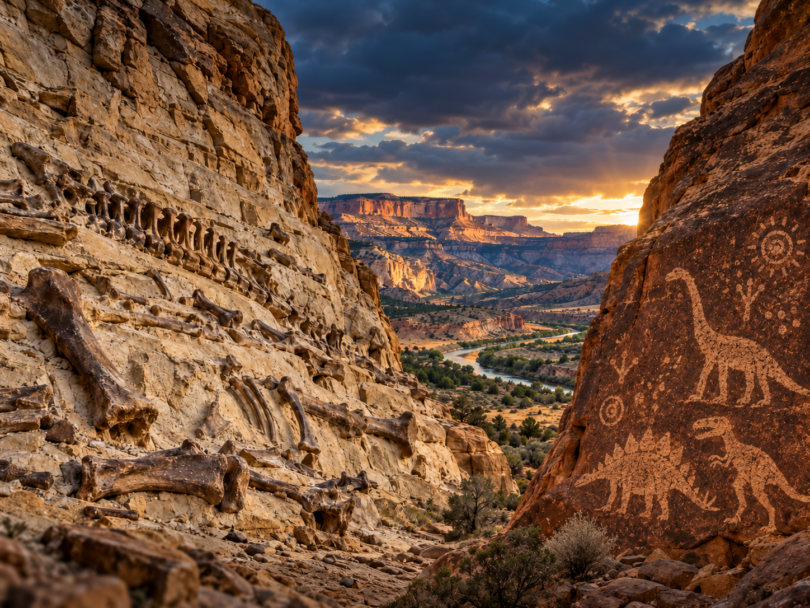
A global Flood should have left an enormous geological footprint: This is exactly the kind of large-scale geology we find.
As floodwaters rose, moved across continents, and eventually receded, they would have eroded, transported, and redeposited vast quantities of rock and sediment. We should expect extensive erosion surfaces, enormous sedimentary deposits, evidence that sediments were transported long distances, and countless plants and animals rapidly buried within those deposits.
Geologists recognize erosion surfaces and unconformities that extend across enormous regions. One of the most dramatic examples is the Great Unconformity, where tremendous quantities of preexisting rock were removed before younger sedimentary layers were deposited above the eroded surface. Researchers writing in Nature described the Great Unconformity as a “globally occurring stratigraphic surface” and documented extensive erosion and reworking of continental material.¹
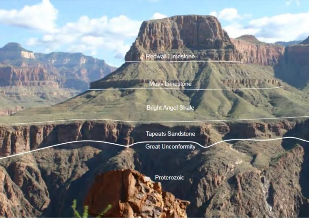
In North America, these enormous erosional and depositional features can extend across large portions of the continent. The U.S. Geological Survey likewise recognizes major ancient erosion surfaces in places such as the Grand Canyon, where older rocks were extensively eroded before younger sedimentary formations were deposited across them.²
Sediment transport can also be immense in scale. Modern geological research demonstrates that water, glaciers, gravity flows, and other processes can remove tremendous volumes of rock and transport the resulting sediment great distances. For example, USGS research estimated that at least 1.62 million cubic kilometers of rock were eroded from the Laurentide region of North America during glaciation, with much of that sediment ultimately transported toward the oceans.³ The important point is not that glaciers caused the biblical Flood, but that enormous quantities of geological material can be eroded and transported when sufficiently powerful processes are operating.
Large floods provide a smaller-scale observable example of the same basic processes. USGS research in the Grand Canyon documents how major floods can scour existing sediment, create erosional surfaces, and then rapidly bury those surfaces beneath meters of newly deposited sediment.⁴ Scale the amount of water, sediment, geographic extent, and duration upward dramatically, and the potential geological consequences become enormous.
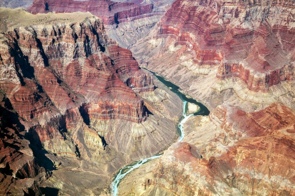
The fossil record adds another important observation. Vast sedimentary formations contain the remains of marine organisms, sometimes far above present sea level. Marine sedimentary rocks now found in mountains show that areas presently elevated above the oceans were once environments where marine sediments accumulated. Mainstream geology explains their present elevation primarily through plate tectonics, uplift, erosion, changing sea levels, and other processes operating over immense periods of time.⁵
A global Flood interpretation proposes a different history for much of this evidence. From that perspective, continent-scale erosion surfaces, massive sediment transport, widespread sedimentary layers, and enormous fossil deposits are not surprising features. They are precisely the kinds of geological effects expected from catastrophic water moving across continents, stripping material from some regions and depositing it in others.
The question, therefore, is not whether large-scale erosion, sediment transport, marine deposition, and catastrophic burial occurred. The rocks demonstrate that they did. The question is how to interpret these enormous geological features.
Could much of what we see in the sedimentary record be the remaining footprint of catastrophic waters moving across the continents and eventually draining from them?
Sources
¹ Peters, S. E., and Gaines, R. R. “Formation of the ‘Great Unconformity’ as a Trigger for the Cambrian Explosion.” Nature 484 (2012): 363–366.
https://doi.org/10.1038/nature10969
² U.S. Geological Survey. “Phantom Ranch Tour — Greatest Angular Unconformity & Great Unconformity.”
https://www.usgs.gov/media/images/phantom-ranch-tour-greatest-angular-unconformity-great-unconformity
³ Bell, M., and Laine, E. P. “Erosion of the Laurentide Region of North America by Glacial and Glaciofluvial Processes.” Quaternary Research (1985). U.S. Geological Survey.
https://doi.org/10.1016/0033-5894(85)90026-2
⁴ U.S. Geological Survey. “The Internal Structure of Sand Bars on the Colorado River, Grand Canyon.”
https://pubs.usgs.gov/of/2001/0425/intro.html
⁵ U.S. Geological Survey. “Mud Fossils — Background.”
https://www.usgs.gov/educational-resources/mud-fossils-background